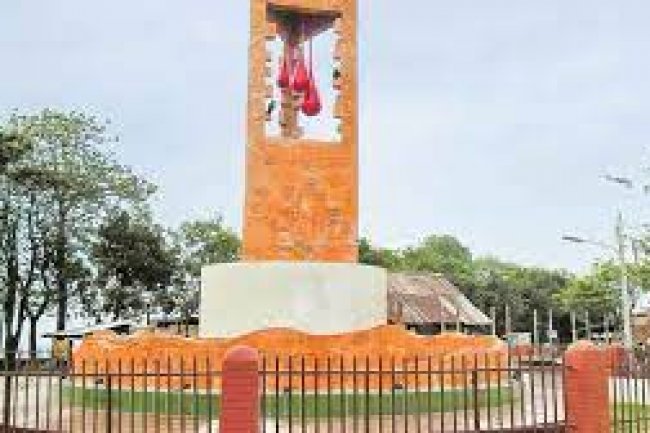
History of Khagrachari District
Khagrachari is a district located in the south-eastern region of Bangladesh. It is also a part of the Chittagong Division and Chittagong Hill tracts.

Mar 23, 2021

Picture: collected
Khagrachari is a district located in the south-eastern region of Bangladesh. It is also a part of the Chittagong Division and Chittagong Hill tracts. Through its local name is Chengmi, it is also known as another name like Phalong or Htaung. Among the three hill districts, Khagrachari is one of them. That's why it is also called as Mong Circle. The other two districts are Rangamati and Bandarban which are known as Chakma Circle and Bohmong Circle. The area of this district is 2749.16 square kilometers and the population is about 613917. It is bounded by Rangamati District at east, Chittagong District and the Indian State of Tripura at west, Rangamati and Chittagong Districts at the south, and the Indian State of Tripura at the north. The district consists of 8 Upazilas, 34 union parishads, 123 Mouzas, 953 villages, one municipality, 9 wards, and 61 mahallas.History
From history, it is known that from the 6th century to the area was ruled by Tripura and Arakan rulers. During this time, from 590 to 953, about 363 years, Tripura kings ruled this kingdom hereditary. On the other hand, from 953 to 1240, Arakan kings ruled this kingdom for about 297 years. Again, Tripura kings ruled the area about 102 years after the Arakan dynasty. From ten century to the fifteenth century Tripura kings ruled over this area about eight times, Arakan kings were nine times and Sultan of Gower was six times. At last, in 1342, the area was seized by Muslim ruler Sultan Fokhoruddin Shah.
Google map: click here
Writer: Sonjoy Kumer
References: khagrachari.gov.bd, bn.m.wikipedia.org
Click Here to Visit
![Mayabini Lake[ an Enthralling Lake among the High Low Hills]](https://travelbd.zayednews.com/uploads/images/202104/image_650x433_60687ab8a24b7.jpg)